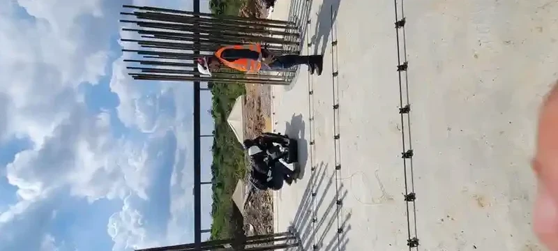
A six-storey residential project on the bluffs above the St. Lawrence taught a hard lesson about Lévis soil assumptions. The developer had standard boreholes but the city requested a site-specific shear wave profile before permit. We ran a 69-meter MASW line across the parking area, right where Champlain Sea silts transition into the underlying glacial till. The VS30 came back at 210 m/s — site class E, not the class D they had penciled in. That shift changed the seismic base shear by nearly 35 percent under NBCC 2020. For design teams working on the South Shore, skipping the seismic refraction survey or assuming a default class can lead to structural redesigns nobody budgeted for. Our approach combines active-source MASW with the NEHRP VS30 calculation protocol, giving you a defensible number that the municipality accepts without back-and-forth.
Lévis bluffs can mask a soft Champlain Sea clay layer that drops VS30 below 180 m/s — missing it means designing a building for the wrong earthquake forces.
Local ground factors
Lévis grew in two distinct chapters. The old shoreline settlement hugged the escarpment on dense glacial till, where seismic amplification is modest. Post-1960s expansion pushed south into the former Champlain Sea basin, where thick sensitive clays dominate. That shift created a split seismic personality for the city. A project on the plateau can hit site class C, while a junior high school two kilometers inland might sit on class E with a fundamental period near 1 second — exactly where four-to-eight-storey buildings resonate. The 1988 Saguenay earthquake, though distant, reminded Quebec engineers that eastern Canada's intraplate events propagate efficiently through the Canadian Shield. Site effects in Lévis can amplify those long-period motions significantly. The NBCC 2020 now requires site-specific shear wave velocity where the default class is uncertain, and municipalities on the South Shore have been enforcing that clause more rigorously since 2021.
Frequently asked questions
What does a MASW survey cost in the Lévis area?
For a single MASW line with VS30 calculation and NBCC site class determination, budgets typically fall between CA$2,500 and CA$4,210. The range depends on the line length, access constraints (sloped lots, wooded areas), and whether we need to run multiple arrays to reach the full 30-meter depth. If the survey is combined with SPT drilling or CPT soundings, the per-line cost drops because mobilization is shared. We provide firm quotes after reviewing the site plan and surficial geology map — no surprises after mobilization.
Which NBCC site class applies to my Lévis property?
We cannot tell you without measuring. Lévis spans site classes C through E, with pockets of F where the soft clay exceeds 30 meters. The bluffs near the river are typically class C (glacial till over shale). The inland neighborhoods south of Autoroute 20 lean toward class D or E depending on the thickness of Champlain Sea deposits. The only way to know is to run a MASW line and compute VS30. Guessing or using the default site class E per NBCC often overestimates seismic loads and inflates structural costs unnecessarily.
How long does the MASW testing take on site?
Fieldwork for a single MASW line takes about two to three hours, including setup, calibration shots, and the actual acquisition. Processing and inversion back at the office adds a couple of business days. The final report with the VS30 profile, dispersion curve, and NBCC classification is typically delivered within five to seven business days of the survey date. Rush processing is available for tight permit deadlines.
Do you need boreholes to run MASW?
No, MASW is a standalone surface method. The geophones are planted at the ground surface and the energy source is a sledgehammer — no drilling required. That said, having a borehole log nearby makes the inversion more solid because we can anchor the velocity model to known layer boundaries. For critical structures in Lévis on suspected class E or F sites, we often recommend pairing MASW with at least one SPT borehole to satisfy the geotechnical reviewer.
Is MASW accepted by the Ville de Lévis for building permits?
Yes, as long as the report is stamped by a Quebec-licensed professional engineer and follows the NBCC 2020 site classification framework. The city's urban planning department does not prescribe a specific geophysical method; they require a defensible VS30 value and the corresponding site class. MASW is widely accepted because it directly measures shear wave velocity over the full 30-meter profile, unlike proxy methods that estimate it from blow counts.